A Mapmaker's Life: Maps of Martin Waldseemüller
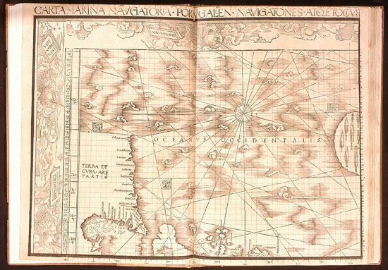
"Carta Marina Navigatoria
Portugallen Navigationes Atque Tocius Cogniti Orbis Terre Maris…"(a
Portuguese Navigational Sea-chart of the known Earth and Oceans …) 1516.
Click on the image for more information from the Jay I. Kislak Foundation and the Library of Congress, which currently holds this map.
"Therefore, studying, to the
best of my ability and with the aid of several persons, the books of Ptolemy
from a Greek copy, and adding the relations of the four voyages of
Amerigo Vespucci, I have prepared for the general use of scholars a map
of the whole world — like an introduction, so to speak — both in the solid
and projected on the plane"
Waldseemüller 1507
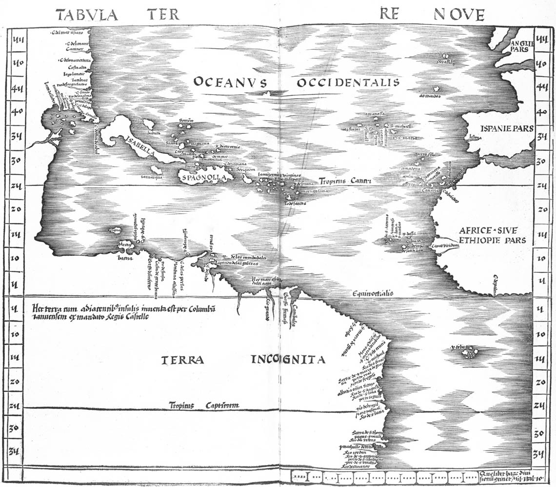
The Waldseemüller/Ringmann edition of Ptolemy’s Geographia was printed at last in 1513 in Strassburg (Strasbourg) by Johann Schott, another former student of Gregor Reisch, who had been at Freiburg when Waldseemüller studied there.
In addition to the two world maps to accompany the Cosmographiæ Introductio and his edition of Ptolemy's Geographiæ, Waldseemüller made another map, in 1516, which is called "Carta Marina." The title continues with the explanation: "A Portuguese Navigational Sea-chart of the known Earth and Oceans." As stated by Peter Whitfield "This map is in fact the first and only printed version of the world charts previously known only to Spanish and Portuguese explorers and their patrons" (Whitfield 1994, 54-55). Waldseemüller’s debt to the Cantino map is clear in his 1516 map. Two years after publishing the great "Carta Marina" Waldseemüller died, leaving a legacy of maps and a book, and the name "America" on maps.


