 |
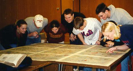
Students from the Freshman Map Seminar study Olaus Magnus' map
and give a perspective as to its size and shape.
[Students from left: Katie Melberg, Matt Larson, Amanda Krause,
Preston Mohn, Ethan Fawley, Christian Newton, Nicole Gundaker
(hidden), Angie Christianson.]
©1999-2001 by the Regents of the University of Minnesota, Twin Cities. University Libraries. All rights reserved. Please credit the James Ford Bell Library,
University of Minnesota if you copy or reproduce material from
this page.
URL: http://bell.lib.umn.edu/index.html