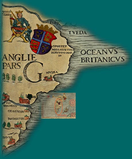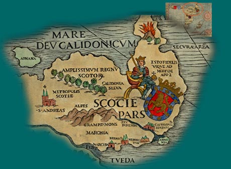
England and Scotland, with their respective kings, are depicted on this section.

Scotland has the peculiar hooked eastward extension that is given to it on Ptolemy’s maps, an indication that Olaus Magnus used them in making the Carta Marina.

 under the Magnifying Glass |
©1999-2001 by the Regents of the University of Minnesota, Twin Cities. University Libraries. All rights reserved. Please credit the James Ford Bell Library,
University of Minnesota if you copy or reproduce material from
this page. URL: http://bell.lib.umn.edu/index.html