The Mediterranean in the center of the chart - France, Spain and Portugal on the west to modern day Israel and the Black Sea on the east.
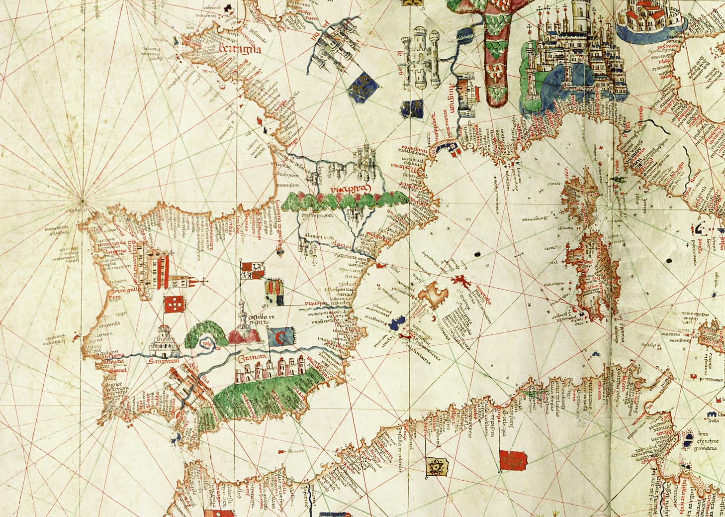
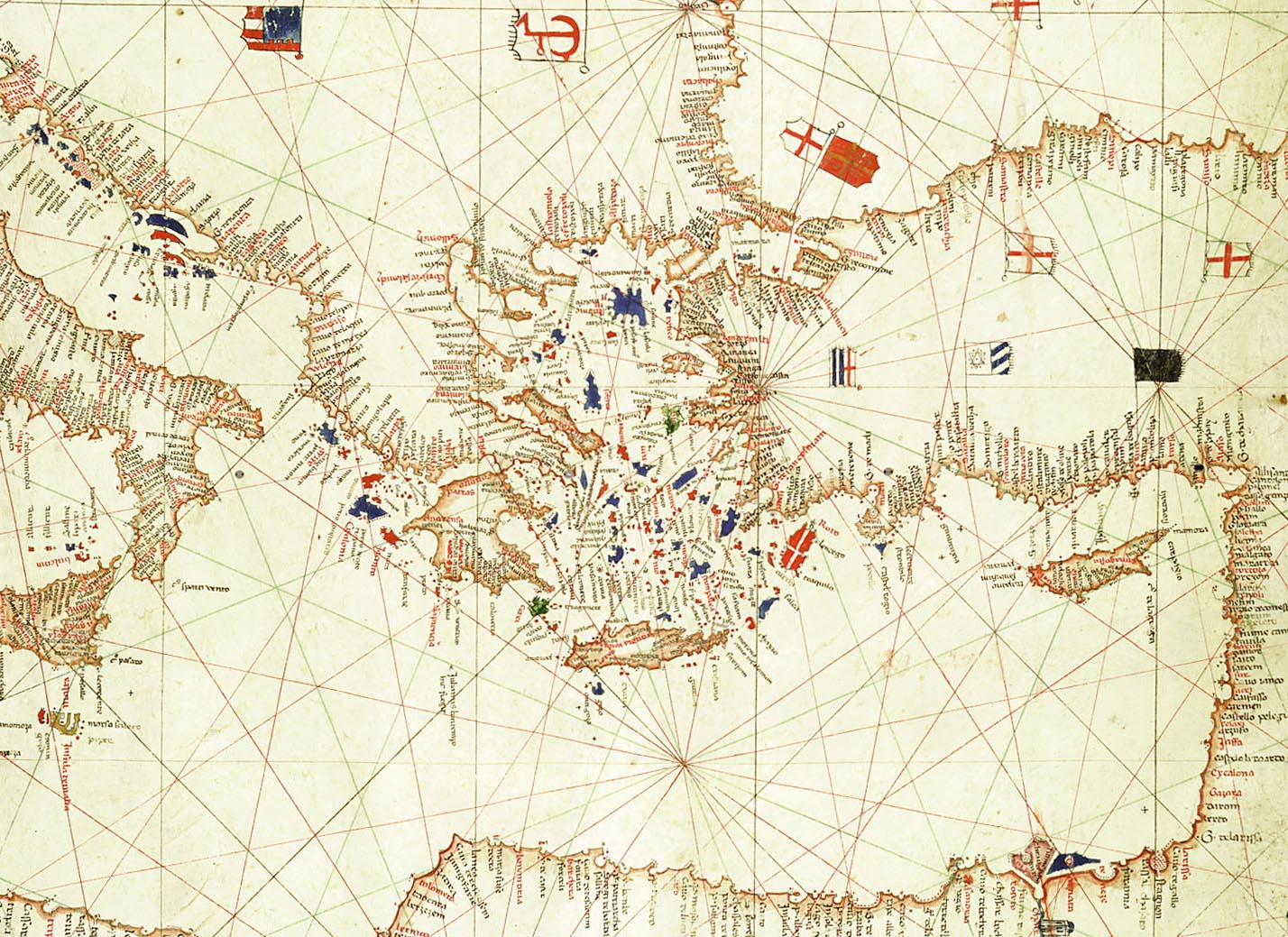
The Mediterranean in the center of the chart - France, Spain and Portugal on the west to modern day Israel and the Black Sea on the east.
©1999-2001 by the Regents of the University of Minnesota, Twin Cities. University Libraries. All rights reserved. Please credit the James Ford Bell Library,
University of Minnesota if you copy or reproduce material from
this page.
URL: http://www.bell.lib.umn.edu/index.html