The Danube Section
The top image is as it appears on the chart; the bottom has been turned to make it easier to read. [Imagine that you have walked around the chart to view the "north" section.]

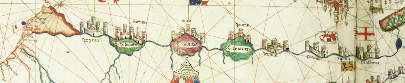
The top image is as it appears on the chart; the bottom has been turned to make it easier to read. [Imagine that you have walked around the chart to view the "north" section.]
©1999-2001 by the Regents of the University of Minnesota, Twin Cities. University Libraries. All rights reserved. Please credit the James Ford Bell Library,
University of Minnesota if you copy or reproduce material from
this page.
URL: http://www.bell.lib.umn.edu/index.html