 |
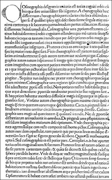
[Opening text from the first printed edition of Ptolemy, Geographia. Venice: Hermanus Levilapis, 1475.]
The text was the Jacobus Angelus translation; the editors who prepared the text for the printer were Angelus Vadius and Bernardus Picardus; the printer was Hermanus Levilapis. These people deserve recognition as this is a landmark book in geography, even though this edition has only text, and no maps.
 |
[Opening text from the first printed edition of Ptolemy, Geographia. Venice: Hermanus Levilapis, 1475.]
This printing would be followed shortly by many others, beginning with the earliest edition that had maps, printed in Bologna in 1477. The maps were printed from copperplate engravings and were made following the model of Nicolaus Germanus.
The Bologna edition in 1477 was followed closely (in fact there seems to have been a sort of race to get into print!) by a Rome edition of 1478. The world map in the latter is on the simple conical projection. All of the maps were printed from fine copperplate engravings.
©1999-2001 by the Regents of the University of Minnesota, Twin Cities. University Libraries. All rights reserved. Please credit the James Ford Bell Library,
University of Minnesota if you copy or reproduce material from
this page.
URL: http://bell.lib.umn.edu/index.html