 |
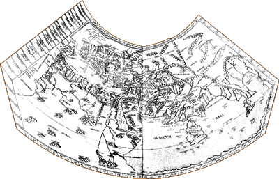
[World map from Ptolemy, Geographia. Rome: Petri de Ture, 1490. Click on image for an enlarged version in a separate window.]
|
[World map from Ptolemy, Geographia. Rome: Petri de Ture, 1490. Click on image for an enlarged version in a separate window.]
The printers were Conrad Sweynheym and Arnold Buckinck, both of German origin, which may account for the fact that the 1490 Rome edition added material from the Ulm edition of 1482.
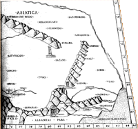 |
[Columns of Alexander the Great from Ptolemy, Geographia. Rome: Petri de Turre, 1490. Click on image for an enlarged version in a separate window.]
The tangled origins of the maps in these very first editions of "Ptolemy" show that something is going on in European knowledge of the earth’s geography. New information, from different sources, is being added to the "Ptolemaic" maps.
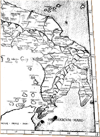
[Drooping heel of Italy from Ptolemy, Geographia. Rome: Petri de Turre, 1490. Click on image for an enlarged version in a separate window.]
![]()
©1999-2001 by the Regents of the University of Minnesota, Twin Cities. University Libraries. All rights reserved. Please credit the James Ford Bell Library,
University of Minnesota if you copy or reproduce material from
this page.
URL: http://bell.lib.umn.edu/index.html