 |
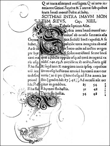
[Sample of text from Ptolemy, Geographia. Rome: B. Venetus de Vitalibus, 1508.]
The text of the 1508 edition, in the James Ford Bell Library copy, has ornate manuscript initial letters and fine colored illustrations to accompany the text.
|
[Sample of text from Ptolemy, Geographia. Rome: B. Venetus de Vitalibus, 1508.]
The copperplates used for printing the Rome editions of 1478 and 1490 were used again for the maps in these editions. The 27 Ptolemaic maps are from Nicolaus Germanus, with the world map given in Ptolemy’s first projection. Six new maps have been added; five of them are new maps of familiar regions, and one is an entirely new map.
The wonder begins with this sixth map, bound as the last map in the James Ford Bell Library copy. Johannes Ruysch made this new map of the world, which includes an extensive view of South America, islands of the West Indies, and a portion of North America.
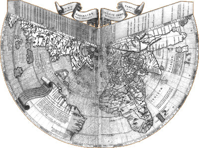 |
[Johannes Ruysch world map from Ptolemy, Geographia. Rome: B. Venetus de Vitalibus, 1508. Click on image for an enlarged version in a separate window.]
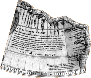
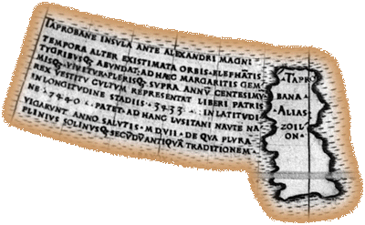
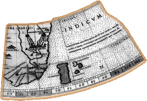
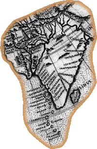
Until the rediscovery of the maps of 1507 made by Martin Waldseemüller, the Ruysch map was thought to be the earliest printed map to show the New World. Once more, little is known about Ruysch except that he was from Utrecht and visited Cologne. Some of the features on his map suggest that Ruysch was using Portuguese sources, for example
the portrayal of the southward extent of the coast of South America;
 |
Click on image for an enlarged version in a separate window.
reference to Portuguese voyages on an inscription near Taprobana;
 |
reduced size of Madagascar
 |
Click on image for an enlarged version in a separate window.
and better image of India.
 |
Click on image for an enlarged version in a separate window.
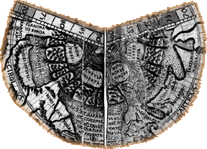
In the far north Ruysch has placed islands around the North Pole, based on reports of the travels of the English friar Nicolas de Linna (Shirley 1983, 25).
 |
Click on image for an enlarged version in a separate window.
This polar cartography would be adopted by Gerard Mercator in the middle of the sixteenth century, on a Mercator map of the polar regions which encouraged the search for Northwest, Northeast and "over the pole" maritime routes.
![]()
©1999-2001 by the Regents of the University of Minnesota, Twin Cities. University Libraries. All rights reserved. Please credit the James Ford Bell Library,
University of Minnesota if you copy or reproduce material from
this page.
URL: http://bell.lib.umn.edu/index.html