At the Gymnasium Vosagense, Walter Ludd, Waldseemüller, and Matthias
Ringmann - a poet and teacher of Latin - planned to publish a
fine critical edition of Ptolemy's Geographia. They borrowed a Greek manuscript of the text from a monastery
and began research on it. The idea was to print the book and its
maps at St. Dié.
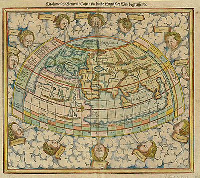
In addition to the Greek manuscript noted earlier, Waldseemüller
had access to several printed editions of the Geographia. For example, Waldseemüller might have used the Ulm, 1482 or
the Rome, 1490 editions. In the Cosmographiæ Introductio Waldseemüller states that he is beginning with Ptolemy’s maps
but revising them because of current information.