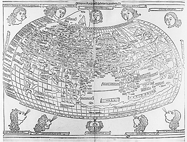
Ptolemy lived ca. 90 –168 AD and is regarded at the foremost classical geographer. His purpose was not to describe but to locate all known places on the earth and to identify the location by means of a grid of latitude and longitude. In addition to the world map he constructed twenty-seven regional maps including some 8,000 place names. Among these are the earliest printed maps of Russia.
See the following: Secunda Asie tabula; Tertia Asie tabula; Septima Asie tabula; Octava Asie tabula.
