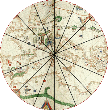
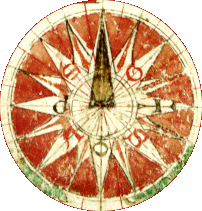
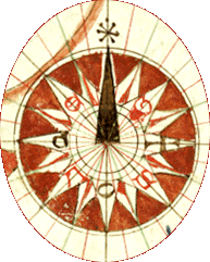
The circle is divided into sixteen equal parts. Rhumb lines connect to the points on the circle and provide a grid.
The rhumb lines on the map could be followed to navigate a vessel at sea; the grid made from them could be used to copy this portolan chart. [For more detailed circles in separate windows, click on the images.]
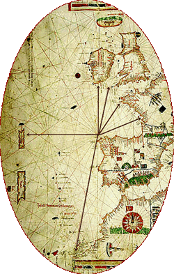
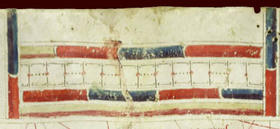
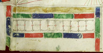
The five scales of distance could be used to determine distance along the rhumbs.
One compass rose is located in southwestern Africa; a second is found in the northeastern part of the map.
Can you find the compass roses and the scale on the Large 1489
Chart? ![]()
The 1489 Canepa |
 |
 |
 |
 |
 |
©1999-2001 by the Regents of the University of Minnesota, Twin Cities. University Libraries. All rights reserved. Please credit the James Ford Bell Library,
University of Minnesota if you copy or reproduce material from
this page.
URL: http://www.bell.lib.umn.edu/index.html