Expanding the World from 180 to 360 Degrees
![]()
![]()
![]()
![]()
![]()
![]()
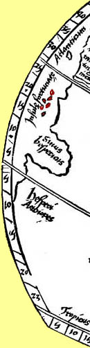
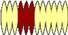
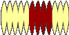
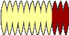
In his globe Waldseemüller followed the printed Ptolemy maps of his time by placing zero longitude in the Fortunate Islands (Canary Islands).
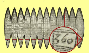
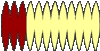
Waldseemüller's globe extends eastwards from zero longitude to 360 degrees, the first map known to show the whole earth.
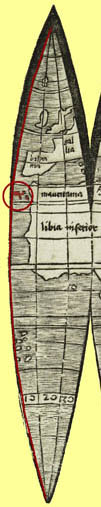
Ptolemy's world map depicted only 180 degrees of longitude, the extent of the world known to him.

![]()
![]()
The Globe |
 |
 |
 |
 |
©1999-2001 by the Regents of the University of Minnesota, Twin Cities. University Libraries. All rights reserved. Please credit the James Ford Bell Library,
University of Minnesota if you copy or reproduce material from
this page.
URL: http://www.bell.lib.umn.edu/index.html